Zoned Agricultural, Covered in Forest
In the Osa cantón, forested properties are being subdivided under the "agricultural" classification, which carries a minimum lot size four times smaller than the one the law reserves for forest. Municipal officials keep treating the agricultural label as paperwork and passing the duty to determine forest cover to another agency.
Enough subdivision filings cross our desk in the Osa cantón that patterns start to show. Here is one. A registered survey map for a roughly 54-hectare property at Dominicalito labels large areas of its interior BOSQUE, forest, alongside stretches marked REPASTOS, pasture. The same property has been carved, on paper, into farm lots, many of them about 5,000 square meters, under a classification meant for agriculture.
The classification determines how small the lots may be and which intervention rules officials apply. When forested land is processed as agricultural, lots can be approved at one quarter of the forest minimum and the subdivision can proceed as though the forest intervention ceiling did not apply. The label cannot legally displace forest protection; the problem is that no one determines forest cover before approval. That is the pattern we keep seeing in Osa: the municipality treats classification as a technical formality and leaves the forest question to another institution.
How can a survey map call the land forest while the subdivision calls it agricultural? Who was supposed to resolve that contradiction before the new lots entered the registry, and what changes when no one does?
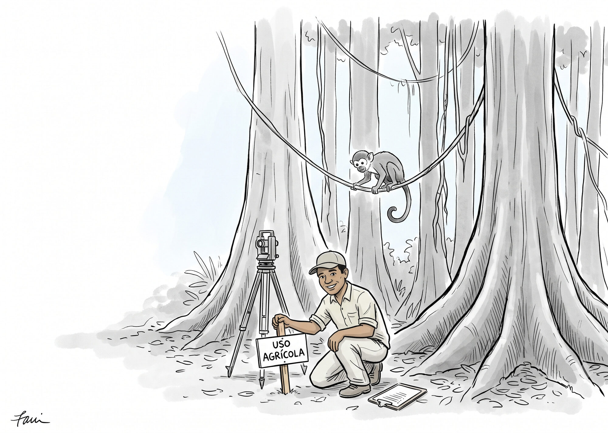
Two Regimes, One Controlling Fact
Costa Rica's national subdivision rules, the Reglamento de Fraccionamiento y Urbanizaciones (INVU, Sesión N°6411, 2019), set the minimum size of a subdivided lot according to how the parcel is classified. The Osa cantón has no cantonwide plan regulador: it has a partial urban flood-risk plan for the Cortés district and a coastal-sector plan for Punta Dominical, while the full cantonal plan remains a draft, so in Dominicalito the national rulebook governs this property directly. Within that regulation, one physical fact determines which regime applies: whether the land carries forest cover.
Under Article 30, an agricultural parcel must be at least 5,000 square meters. The regulation defines an agricultural parcel as a unit "donde se lleva a cabo una actividad primaria agrícola, pecuaria, forestal o mixta" (where a primary agricultural, livestock, or forestry activity is carried out), for "la obtención de productos vegetales o animales" (the production of crops or animals). A qualifying primary productive activity must actually occur there.
Under Article 34, a parcel with forest cover must be at least 20,000 square meters, two hectares. Forest parcels also carry a 10 percent intervention ceiling, which only the State Forest Administration, acting through SINAC, may authorize. It may authorize intervention only "en tanto no sea mayor del 10% de su área total" (so long as it does not exceed 10 percent of the total area), with the access easement counted inside that same 10 percent. The regulation defines a parcel with forest cover as a cadastral unit containing forest as defined by Ley 7575. That classification triggers the stricter subdivision regime.
The 10 percent figure sets the maximum SINAC may authorize; it grants no entitlement to development. Article 34 says that any permitted use must comply with Article 36 of Decreto 25721-MINAE, the decree implementing Forestry Law 7575. That provision governs the State Forest Administration's decision whether to authorize intervention in forest. The applicant must identify the proposed footprint and use, obtain SETENA's environmental viability, and submit a forest inventory. To authorize an intervention, SINAC must clear two gates. The proposed use must fit an exception allowed by Article 19 of the Forestry Law; the intervention must also satisfy proportionality and reasonableness by favoring already altered, less-sensitive areas and causing the least possible damage, including reduced edge effects. An application that fails those tests can be denied, and any authorized share can be less than 10 percent.
In Article 3, subsection d, the Forestry Law defines forest through a measurable test: an ecosystem of two or more hectares "con uno o más doseles que cubran más del setenta por ciento (70%) de esa superficie y donde existan más de sesenta árboles por hectárea de quince o más centímetros de diámetro" (with one or more canopies covering more than 70 percent of that area and more than sixty trees per hectare of fifteen or more centimeters in diameter). Because that test selects the subdivision regime, municipal officials must apply it before approving the lots.
| Agricultural parcel | Parcel with forest cover | |
|---|---|---|
| Minimum lot size | 5,000 m² | 20,000 m² (2 ha) |
| What documents the class | A primary agricultural, livestock, forestry, or mixed activity under Article 6 | Forest cover per Ley Forestal Art. 3(d) |
| Physical intervention | Up to 25% coverage | 10% maximum, only MINAE/SINAC may authorize; access easement counts inside the 10% |
Why Larger Forest Lots Matter
A roughly 54-hectare forest property could yield about 27 lots at the forest minimum or more than 100 at the agricultural minimum. Roads and easements reduce either estimate.
Forest damage begins when separate lots bring roads, clearings, buildings, fences, light, noise, and repeated human access. Dividing the same forest into many small homesites creates more development points and more routes into the canopy. Larger minimum lots limit that density and leave more room for continuous interior habitat.
That interior is ecologically different from an exposed edge. Sun and wind raise temperatures, lower humidity, dry leaf litter, and increase tree mortality after a road or clearing opens the canopy. Long-running Amazon fragmentation research found many effects extending at least 100 meters into the remaining forest, and some wind-related effects reaching 300 meters or more. A branching road network and separate clearings for multiple lots can therefore carry edge conditions deep into a property. This is why Decreto 35883-MINAET requires SINAC to favor less-sensitive or already altered areas and to reduce edge effect when deciding what intervention is reasonable.
How the Pattern Works in Dominicalito
Across the forested-subdivision filings we have reviewed in Osa, the municipality repeatedly treats each approval as a narrow technical step that need not determine forest cover. The Dominicalito file shows how those steps connect.
The visado is the municipality's technical-administrative review of a survey plan. On this property, at least seventeen child plans were inscribed and had received municipal visados before a forest-cover complaint was filed on 15 April 2026; Osa says each application is individually reviewed and may be conditioned or rejected.
The municipality describes the visado as a preliminary technical-administrative review, separate from environmental review for activities such as earthmoving, construction, or land-use change. Its response does not identify who must determine forest cover. After objections to the agricultural segregations in Dominicalito, the municipality issued PDC-032-2026. It said the administrative files "contain a reference" to a technical study by INTA, Costa Rica's agricultural technology institute. The municipality described that study as certifying the land's suitability for the use identified in those files. The response does not attach the study, give its date, or describe the conditions INTA observed. The response establishes only that the municipal files refer to the study; the study's findings and their current relevance remain undocumented. Land assessed as pasture could later regenerate forest; mature forest can also stand over soil suited to agriculture. The two-hectare regime turns on the parcel's forest cover regardless of its soil capacity.
In its defense of the agricultural subdivisions it granted on the Dominicalito property, the municipality also cites a general INVU opinion stating that the regulation sets no maximum number of agricultural lots that may result from dividing one parent property. That opinion addressed a generic inquiry, not this forested property, and INVU has since said it did not authorize or validate any municipal visado. When asked to stop approving these segregations, the municipality replied that it could not refuse to receive public filings. But receiving a filing does not require approving it.
In case after case, we have seen the municipality approve the registry paperwork before any environmental authority determines whether the property is forest.
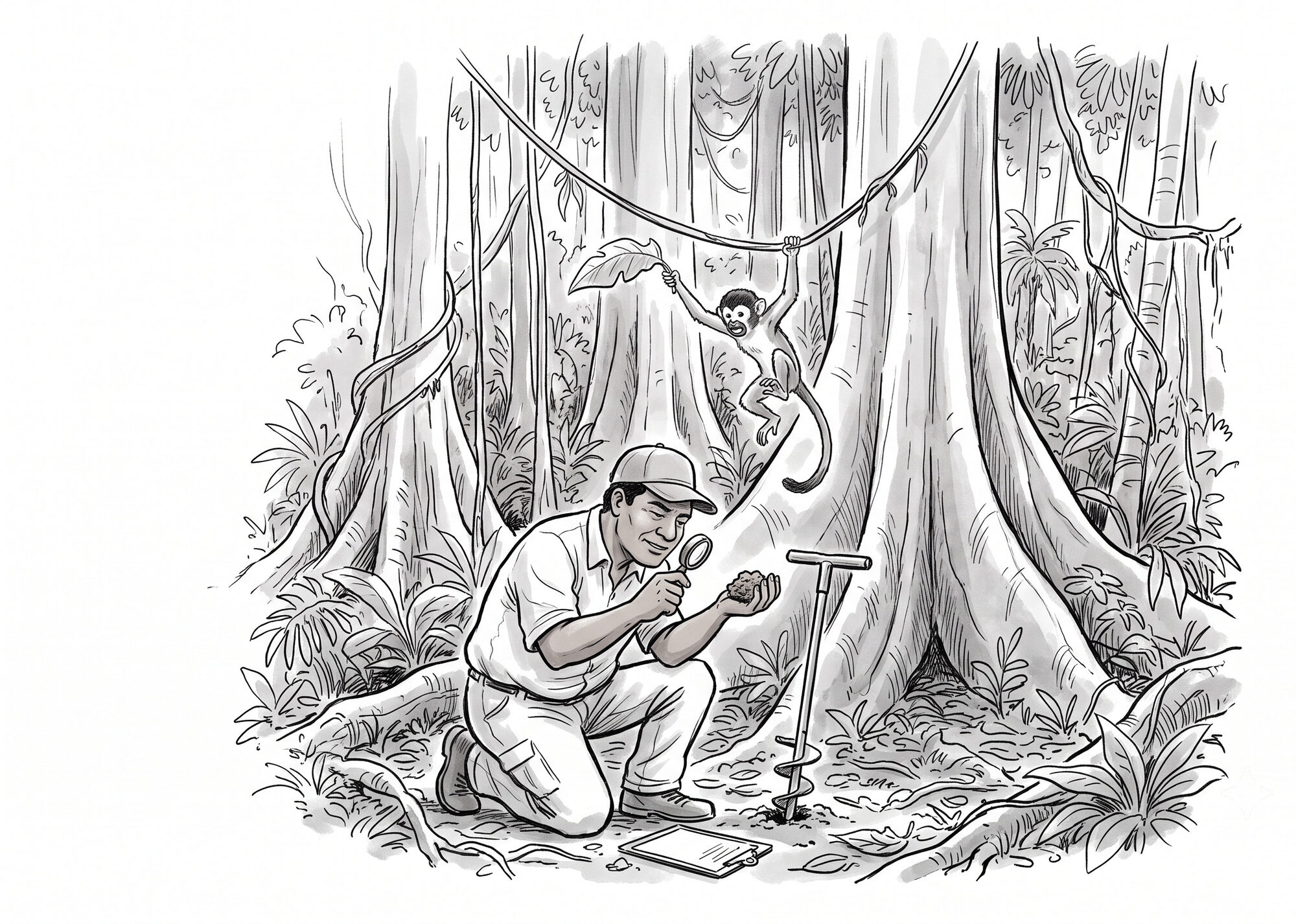
When Agricultural Subdivision Becomes Urban Development
Consultancies across Costa Rica package agricultural subdivision as a service. Real-estate outlets market the agricultural designation to foreign buyers for its smaller minimum lot size.
The agricultural category applies to land divided for continued primary production and provides no alternate route for residential subdivision. The current INVU regulation defines an agricultural parcel as land where an agricultural, livestock, forestry, or mixed activity produces plant or animal products. It also says an agricultural access easement must serve the productive nature of the property. A project does not become agricultural merely because its lots meet the agricultural minimum and its plans use the agricultural label.
That distinction became central to litigation over a project in Naranjo that its developer, Feruga Limitada, presented as a "lotificación agraria." The 32.87-hectare property included forest and springs, and the precise boundary of the El Chayote Protected Zone was disputed. The administrative record initially supported agricultural treatment. On May 30, 2008, the municipality issued a conditional agricultural land-use certificate for the parent property. On June 1, 2009, Feruga submitted to SETENA an INTA-endorsed soil-capacity study that attributed agricultural vocation to 87 percent of the property, identified 5.26 hectares of forest, and recommended no change of use in the forested areas. On June 23, 2009, SETENA granted environmental viability to a specific 59-parcel agricultural design.
The municipality stamped 52 plans for cadastral registration on September 8, 2009, and the Catastro Nacional registered them on September 29. On October 22, Feruga sought land-use certificates to build on the resulting lots. The municipal council suspended the applications on November 18 and demanded another environmental impact study, even though SETENA had evaluated the agricultural subdivision. The subdivision regulation then in force expressly allowed homes and other structures on agricultural parcels within a 15 percent coverage limit, so the housing applications did not by themselves establish a disguised urbanization. Still, the forest, the springs, the possible effects on aquifer recharge, and the prospect that 52 nominally agricultural lots were actually homesites gave the municipality serious grounds to investigate.
Feruga challenged the suspension orders. In the decisions culminating in Resolución 368-2011, the Tribunal Contencioso Administrativo annulled them because the municipality had not explained why another environmental study or a different classification was warranted. That was a substantive due-process failure: the municipality had halted the entire file without telling Feruga the factual and legal case it had to answer. At the same time, the Tribunal did not validate the agricultural characterization. It found that Feruga had not proved an agricultural project, upheld the council's competence to examine the proposal as a possible urban development, and said environmental protection required technical, precautionary investigation. The municipality could require technical evidence and suspend the final decision while gathering it. It could not halt every step indefinitely through an unreasoned order.
That ruling left a second issue: the legal effect of the approvals the municipality had already issued. In Resolución 512-2013, the Tribunal held that the municipality had approved the agricultural subdivision and that the visados had created rights. If the municipality considered those approvals unlawful, it had to challenge them through a formal annulment procedure. Those rights had defined limits. The visados authorized the subdivision for cadastral registration; they granted no right to build and imposed no duty on the municipality to provide services. Any roads, utilities, or houses remained subject to SETENA's agricultural design and forest no-change condition, the required hydrogeological and service studies, and separate construction approvals.
Naranjo applied a predecessor regulation and did not decide the question Dominicalito now presents under Article 34: whether forest cover required the two-hectare forest-parcel regime from the outset. For Dominicalito, the lesson runs in both directions. The municipality should determine forest cover with technical evidence and a reasoned decision before approving the subdivision. If it discovers only afterward that an approval was unlawful, it remains responsible for correcting the error through a formal annulment procedure and for withholding later permits until every applicable condition is met. Due process governs how the municipality reverses course; it does not require the municipality to perpetuate an unlawful approval.
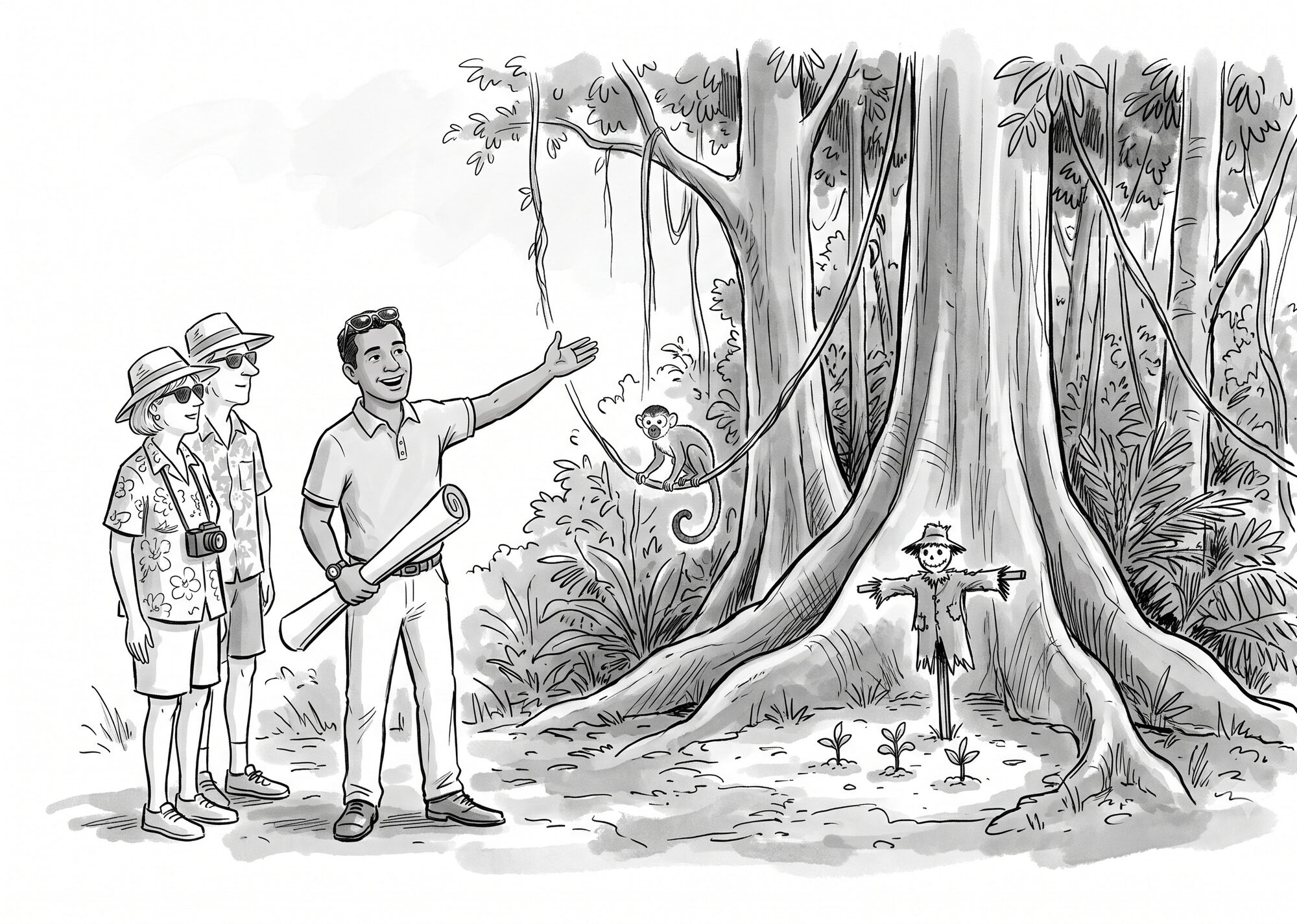
A Forest Remains One Ecosystem
In binding opinion C-200-2009, the Procuraduría General held that a forest must be treated "como una unidad" (as one unit) across the whole property. An owner cannot evade the protections of Article 19 by drawing parcel lines that leave each piece of the same forest under two hectares.
Forest status in Costa Rica survives the physical removal of the trees and follows the parcel, so the registry cannot subdivide the legal forest out of existence (Dictamen C-297-2004; Tribunal de Casación Penal, Voto 396-2003). Municipalities themselves share the duty to protect the environment (Sala Constitucional, Voto 1220-2002; Article 17 of the Ley Orgánica del Ambiente).
In July 2026, INVU applied the controlling rule directly to Dominicalito: the property's physical characteristics, including forest cover, determine its subdivision regime. The municipality must verify those characteristics during the visado procedure. INVU also said its earlier general opinion "no constituye una autorización, aprobación, aval o convalidación de los visados municipales" (does not constitute an authorization, approval, endorsement, or validation of municipal visados). Any finding of nullity or official responsibility would require a formal proceeding.

What Happens Now in Dominicalito
INVU's July oficio moved the Dominicalito dispute from a general legal question into an active administrative inquiry. INVU said it would require the municipality to provide the visado files. An April 2026 update described SINAC's planned forest-cover review as an analysis of historical satellite imagery and parcel samples. Together, those records could establish whether forest covered the property when the lots were approved.
The Dominicalito example sits inside a broader problem with municipal review. In May 2026, the Comptroller found that none of the six corridor municipalities, Osa among them, had formally incorporated the environmental variable into its construction-permit procedure. Osa told the auditor it lacked the competence and resources to assess environmental fragility. In its May 2026 order, the comptroller told the six to consult SETENA, SINAC, and the water directorate whenever a site raises a reasonable doubt, rather than approve permits on a documentary checklist alone.
The order applies at construction permitting, the next municipal approval stage, and rejects documentary-only review there; visados fall outside its scope.
The agricultural parcels are already registered, and the lots are being marketed as rural homesites; as of SETENA's 23 July 2026 status letter, the response to its prevention requiring forest-coverage documentation or a professional forest-determination report had not entered for review. The municipality had a duty to examine forest cover before approval; INVU's inquiry now asks for the files after the fact.
The classification is supposed to follow the land. When it follows the paperwork instead, a forest can be sold as farmland before anyone with authority has to look at the trees.
Resources & Further Reading
Related Coalición Floresta Articles
What the Comptroller's May 2026 order requires after finding that the six Paso de la Danta municipalities had not formally incorporated the environmental variable into their construction-permit procedures.
The companion account of the environmental-permit route into a forest: Article 19's narrow exceptions and the fragmentation of permit applications.
How Costa Rica's measurable legal definition of forest works and where it came from.
Dominicalito Case Record
SETENA's official public-file portal. Search for D1-1030-2025 to consult the prevention requiring forest-coverage documentation or a professional forest determination, the 23 July 2026 status letter, and the filed Dominicalito subdivision records.
Osa Planning Documents
INVU's official current registry, which lists Osa's operative plan coverage as partial.
Official judgment identifying Osa's 1997 publication as the partial urban flood-risk plan for the Cortés district.
The municipality's hosted draft of the full cantonal regulatory plan.
Official SCIJ record for the operative Punta Dominical coastal-sector plan.
Laws and Regulations
The national subdivision rulebook. Article 30 sets the 5,000 m² agricultural minimum; Article 34 sets the 20,000 m² forest-cover minimum and the 10 percent intervention cap; Article 6 defines "parcela con cobertura boscosa" (item 70) and "parcela agrícola" (item 71).
Article 3, subsection d, defines forest as an ecosystem of two or more hectares with over 70 percent canopy and more than sixty trees per hectare of fifteen or more centimeters in diameter. This is the measurable test the subdivision regime depends on.
Amended Article 36 of the Forestry Law regulation and added the proportionality and reasonableness criteria: SINAC may authorize no more than 10 percent, must seek the least possible forest damage, prioritize less-sensitive or already altered areas, and reduce edge effect.
Requires prior environmental evaluation of activities that may alter the environment, part of the basis for the municipal duty to look before approving.
Binding Opinions and Court Rulings
Binding opinion holding that forest is judged as one ecosystem across a property, so a landowner cannot section it into sub-two-hectare parcels to evade the Article 19 protections. The direct authority against the agricultural-subdivision device.
The developer prevailed: the Tribunal annulled the municipal suspension for lack of factual and legal reasoning. It nevertheless held that the municipality could investigate whether the project was genuinely productive or instead residential and urban. The record was insufficient for the Tribunal itself to make that classification.
Companion ruling recording that preliminary visados for 52 plans and an agricultural land-use certificate had already been issued. The Tribunal annulled later municipal acts that contradicted those approvals, while preserving the permits and environmental conditions required for construction. It also held that administrative silence cannot produce approval in urban-environmental matters.
Source of the principle of the irreducibility of forest: forest status survives the physical destruction of the trees.
PGR pronouncement carrying the irreducibility-of-forest principle into administrative law, quoting Casación Penal Voto 396-2003. Forest status attaches to the finca and cannot be subdivided out of existence.
The Device in Practice
A consultancy marketing agricultural-parcel subdivision as a routine service: the 5,000 m² minimum (7,000 in the GAM) and an INTA soil-use study as the gating requirement for the visado.
An expat and real-estate outlet explaining agricultural parcels to foreign buyers as a way to divide rural land into smaller lots, noting their repurposing to residential use.
Oversight and Enforcement
Binding order to the six municipalities along the Paso de la Danta corridor, Osa included, finding that none had formally incorporated the environmental variable into its construction-permit procedure and ordering them to do so. Cites the municipalities' own answers to the auditor, including Osa's statement that it lacks the competence to assess environmental fragility. Covered in our companion piece, The Municipalities That Couldn't Find the Corridor.
Forest Fragmentation and Edge Effects
Long-term results from the Biological Dynamics of Forest Fragments Project, documenting altered microclimate, elevated tree mortality, and ecological changes extending from newly exposed forest edges.
The fact-checked edge-effect analysis supporting the conceptual diagram above, including the documented reach of edge conditions into tropical forest.