The Audit With Addresses
Two earlier Contraloría audits and a May order described a control system in the abstract. This one named seven properties in the Paso de la Danta corridor and asked SINAC, SETENA and the Municipalidad de Osa what they had on file. The answer came back almost empty. Then the auditors opened Google Earth.
On July 14, 2026 the Contraloría General de la República ordered the executive director of SINAC and the mayor of Osa to go and look at three properties in the Fila Costeña, work out whether the Forestry Law had been broken on them, and, if it had, sanction whoever was responsible and take them to court. Both officials have to certify what they did by September 18, 2026. The order is DFOE-SOS-ORD-00003-2026, and it comes from the same division of the Contraloría, the Área de Fiscalización para el Desarrollo Sostenible, that produced the ones before it.
Those earlier documents worked at the level of the system. In 2025 the Contraloría found SINAC approving tree removal SINAC could not afterward account for, with the forestry regents' closing reports missing on 32 of the 49 permit files where one was already due. Later that year it found SETENA granting environmental viability on 90 percent of the coastal files it reviewed without anyone going to see the site. In May of this year it found that none of the six municipalities issuing building permits along the Paso de la Danta corridor had a formal environmental check built into the permit procedure, and that half of them told the auditor the corridor does not cross their canton. Each of them described how the controls work, or fail to. This one starts from seven parcels of land.
It began with a citizen denuncia, filed on April 9, 2026, alleging possible land-use change on seven properties inside the corridor, on ground with heavy forest cover and a dense network of streams. The Contraloría wrote to the Municipalidad de Osa, to SETENA and to SINAC's Área de Conservación Osa, and asked each one what it held on the seven. The order identifies every property by its registry number; they are labeled A through G below.
What the Agencies Had on File
SINAC answered for all seven at once. Its forestry control system, the SICAF, held no permit to cut, harvest or transport timber on any of them.
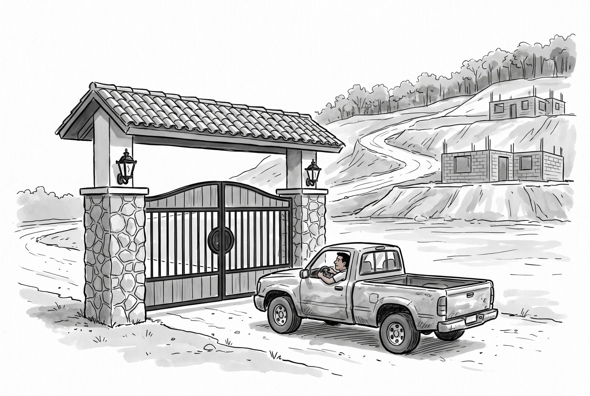
Osa had files on two. On Property A, a minor-works permit approved on December 19, 2020 for a 70 m² gateway. On Property D, a permit to move 878 cubic meters of earth, approved on February 12, 2026. On the other five, no construction permit on file at all. SETENA's answer was a list of things that were not construction: two viability licenses on Property A, both for electrical distribution lines, one from 2016 and one from 2019; a water concession on Property B; a request to raise the flow of a water concession on Property C; open, undecided files on Properties D and E; and on F and G, no file of any kind.
| Property | Municipal construction permit | SETENA file | SINAC timber permit |
|---|---|---|---|
| A | 70 m² gateway (Dec 2020) | Two electrical distribution lines (2016, 2019) | None |
| B | None | Water concession (2025) | None |
| C | None, though the owner's own declaration reports construction value | Water concession, flow increase (2025); Fiscalía de Osa case open | None |
| D | 878 m³ of earth movement (Feb 2026) | One archived, one still in technical analysis under an environmental denuncia | None |
| E | None | Viability request still in technical evaluation | None |
| F and G | None | None | None; the mother finca held a 2022 land-use change permit |
The open files on Properties D and E settle nothing. Their environmental impact evaluations are still running, and until SETENA resolves them there is, in the order's words, "por el momento no se cuenta con ninguna decisión, menos con algún derecho" (for now there is no decision, much less any right).
Then the Auditors Opened Google Earth
Having collected the certifications, the Contraloría looked at the ground itself. It pulled satellite photography from Google Earth, took the layers published on the SNIT, the national territorial information system, including the 2023 forest cover layer and the ICE map of the national electrical grid, and rendered them in QGIS, a free open-source mapping program. The photography dates from early 2021; the layers were current to June 12, 2026. The result runs to 13 images in the order's annex, and it does not match the files.
Property A shows tree cutting, earth movement, buildings and roads, across ground the forest cover layer marks as potential mature and secondary forest. The only permit the municipality has on it is the 70 m² gateway. The order handles the power lines in one sentence: the two viability resolutions put those lines somewhere other than the area where the land use appears to have changed.
Property B carries no construction permit, and its owner has declared no construction value to the municipality. Its only environmental license is for taking water out of an unnamed creek. The imagery shows mature and secondary forest cut, earth moved, and what the order calls indications of a process of urbanization inside the finca.
On Property C the municipality's file contradicts itself. Osa has no construction permit on record for it. The owner's own bienes inmuebles declaration to Osa reports construction value on it, on land the municipality never issued a permit for. The Fiscalía de Osa has a case open on the property. The satellite images show what the order calls a presumed cut of mature and secondary forest, earth movement and the same signs of a subdivision going in.

Where the Parent Title Had a Permit
One thread in the seven runs the other way, though not on the seven themselves. Properties F and G hold no permit of any kind. The finca they were segregated out of, their mother title, did receive an authorization for cambio de uso de suelo, a change of land use, on October 21, 2022. While the trees were coming down, a denuncia vecinal was filed and the Fiscalía de Osa opened a sumario. SINAC went to the field, and its report of October 23, 2023 said it found no cutting more than 10 percent beyond the area the permit authorized. It recommended following up on the activities still pending under the permit, asking the forestry regent for a report on one pilón tree that had been taken, and sending the file to the prosecutor.
The order records no field inspection on any of the seven. That 2023 visit to the mother finca is the only one it mentions anywhere. The Contraloría did not order any action on F or G, though its conclusion lists both among the properties carrying denuncias or open judicial investigations.

Sanction, or Explain Why Not
The order is one directive, addressed to SINAC and to the Municipalidad de Osa together. Review Properties A, B and C in full: the documents, the technical analysis, and whatever field verification is needed. Determine whether the Forestry Law, environmental rules or the permit requirements for earthworks and construction were broken. If they were, apply the corrective and sanctioning measures and file the judicial and administrative actions that follow. Certify all of it by September 18, 2026. Article 69 of the Contraloría's organic law makes sustained, unjustified non-compliance a serious offense that can cost the responsible official their post.
The order commands a review. The language stays conditional the whole way through: eventual, probable, presunta. SINAC and the municipality have been told to establish whether anything on those three properties actually broke the law, and the order names no owners, no companies and no developers.
This order looks backward, at work already done. When we covered the May order we noted that it was prospective: it built an environmental check into the next application and said nothing about the permits and viabilities already granted in the corridor. This one arrives eight weeks later, on ground the order names by registry number, with a deadline of September 18.
The order's finding about water rests on a different document altogether: the corridor's own management plan, expired since 2023. The local water resource, surface and underground both, is under real-estate pressure, and no updated capacity or hydrogeological study says whether it can supply what is being built.
The Contraloría did all of this from a desk in San José. The satellite photography is on Google Earth, the 2023 forest cover layer is published on the SNIT, and QGIS costs nothing to download. Article 54 of the Forestry Law gives SINAC's officers the standing of a police authority, including the right to walk onto any rural property in the country and inspect it, dwellings aside. Nothing the agencies sent to San José mentioned the clearing.
Resources & Further Reading
The Contraloría Order
The full order, oficio 08908 (DFOE-SOS-0333), addressed to SINAC's executive director and the mayor of Osa, with the annex of 13 satellite and GIS images. It identifies each of the seven properties by registry number and gives the agency certifications for each.
The prospective order that came eight weeks earlier, binding six municipalities plus SINAC and the Dirección de Agua to build an environmental check into the permit procedure.
The first of the earlier documents. It examined 147 permit files from 2024 across the Osa, Pacífico Central and Caribbean conservation areas, and found the forestry regents' closing reports missing on 32 of the 49 files where one was already due.
The second. Of 59 coastal-zone files, only 6 were inspected before viability was granted, the 90 percent figure. It appears in the audit's Figura 5 rather than its text.
Coalición Floresta
Our coverage of the May 2026 order, including the finding that none of the six municipalities ran environmental review before issuing a building permit, and that three denied the corridor crosses their canton.
The 2025 audits of SINAC and SETENA from the same Contraloría division: forestry files the agency could not account for, and environmental viability granted on 90 percent of coastal files with no field inspection.
Journalism
Same-day coverage of the order, with a direct link to the Contraloría document.
Coverage of the order in the context of the Contraloría's earlier findings on the corridor.
National daily coverage of the order, framing it against the Contraloría's May 2026 order and La Nación's own 2025 satellite reporting on forest destruction in the corridor.
The Law
Article 54 gives Forest Administration officials the standing of a police authority and the right to enter and inspect any rural or forest-industrial property, dwellings excepted. Article 19 sets the restriction on changing the use of forested private land.
Article 69, "Sanción por desobediencia," is what gives the order its teeth: an order left unmet without justification is reiterated once, and continued disobedience becomes a serious offense punishable by suspension or removal from office.
Article 14 establishes that the bienes inmuebles declaration is filed by the owner, not assessed by the municipality, and that the declared value becomes the tax base. Municipal valuation applies only where the owner files nothing.
The Corridor
The corridor's expired management plan, which the order cites both for the terrain's ecological sensitivity and for the absence of updated water studies in the face of real-estate pressure.